
Natural hazard monitoring and early warning systems
We measure change where hazardous processes begin and make it clear to the people responsible – from continuous monitoring to the post-event situation overview.
What an early warning system has to deliver
For a municipality or infrastructure operator, an early warning system answers three questions: What is the situation right now? Is an event coming, and when? What has happened, and who is affected?
GMD® combines measurements across the catchment, automated analysis in GeoSenseAI® and, where it makes sense, drone surveys. The result is a continuous chain from sensor reading to decision support.
Our systems support decisions. Official warnings, closures and emergency response remain with the competent authorities.
Three stages of early warning
- Continuously
Nowcasting
A traffic-light status for each catchment based on water level, rainfall and movement data. Benefit: raise a pre-alert, put crews and equipment on standby.
- When a threshold is exceeded
Early warning
Automatic notification of designated contacts. Benefit: close roads, railway lines or hiking trails in time – without lookouts on site.
- After the event
Situation overview
Drone survey, terrain comparison and affected assets in the digital twin. Benefit: sound decisions on clearance and reopening, and a complete record.
Hazard processes and measurement concepts
The right sensor setup depends on the process and the site. We tailor the following concepts after a site assessment.
Debris flows and torrents
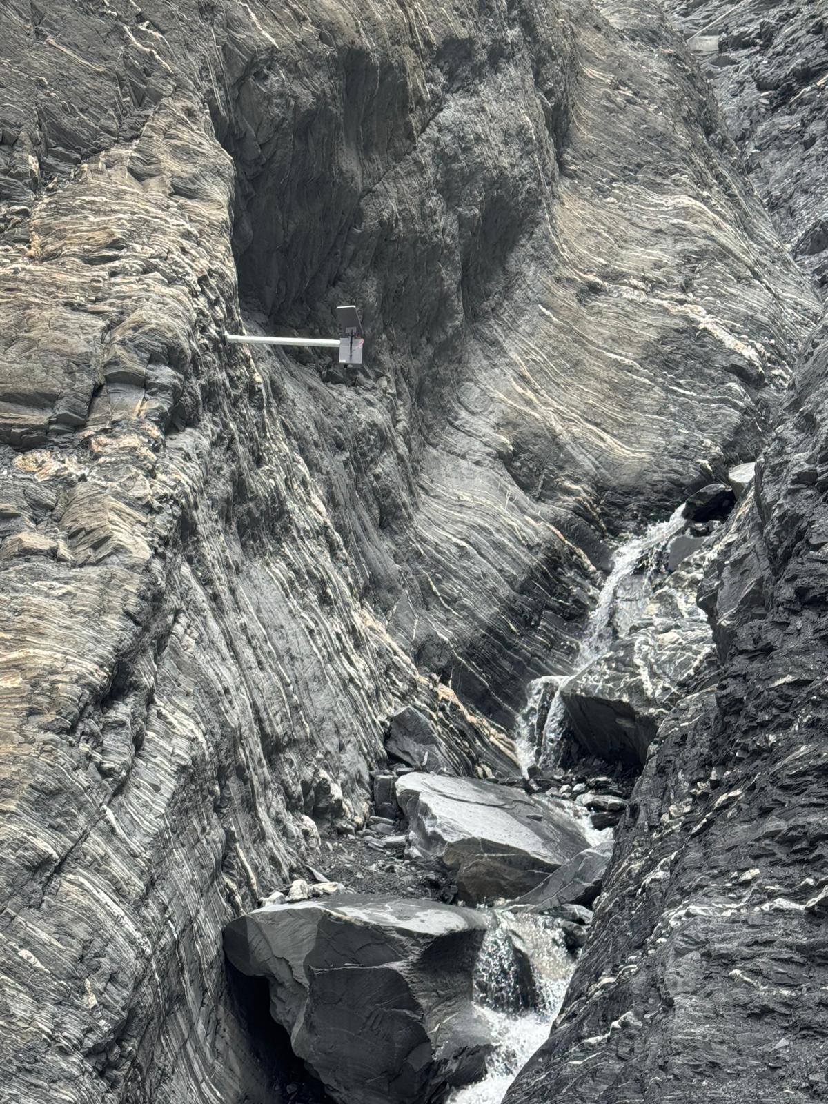
Debris flows start in the upper catchment, often far from settlements. GMD® records water level and rainfall and adds ground vibration measurements in the stream bed, revealing sediment movement that a gauge alone cannot show. For the next development stage, GMD® is building a geophone network that links itself wirelessly.
Heavy rain and flooding
In small catchments and urban streams, there is little time to react after a cloudburst. Water level and flow velocity readings on tributaries show how quickly water is rising. Sudden jumps can point to blockages at bridges or culverts.
Rockfall
Seismic sensors and accelerometers detect vibration and micro-movement on rock faces, historic masonry and protective structures, helping to target maintenance.
Slope movement
Landslides often develop over days or months. Tilt and displacement sensors record slow change, and GeoSenseAI® shows it alongside rainfall and soil moisture.
Avalanches
Additional data on snow and weather at critical slopes supports avalanche commissions and operators in their assessments.
Wildfire
Sensor-based early detection in forests at risk complements aerial and satellite observation.
How a project runs
Site and hazard assessment
Site visit, review of hazard zone maps and event records, alignment with the municipality and technical authorities.
Monitoring concept and permits
Choice of sensors and locations, thresholds and alert chain; clarification of any permits, for example for drone flights.
Installation
Mounting in the channel, on the slope or on the rock face – with rope-access technicians where terrain is difficult.
Commissioning and calibration
Connection to GeoSenseAI®, threshold calibration to avoid false alarms, user training.
Operation and maintenance
Continuous monitoring of the hardware, maintenance, analysis and refinement as new data comes in.
Frequently asked questions
Does a GMD® early warning system replace official warnings?
No. GMD® systems provide measurements, threshold-based alerts and situation overviews to support decisions. Official warnings, closures and emergency response remain the responsibility of the competent authorities and emergency services.
How do the sensors work without a power connection?
The sensors are self-powered and transmit data wirelessly, so they can be installed in torrent channels, on rock faces and at high altitude without existing infrastructure.
How long does it take to go live?
That depends on the site, access and any permits required. After a site assessment you receive a concrete schedule.
Do we have to buy the system?
No. Sensors and platform are also available on a rental basis, with GMD® handling operation, maintenance and analysis.
Who can access the data?
You decide. Crisis teams, fire services, technical departments or operators each get the views they need. Data storage and usage rights are set out in the contract.
Next: the GeoSenseAI® platform and our sensors and technology
Which hazard affects your site?
Let's work out together which monitoring concept makes sense.